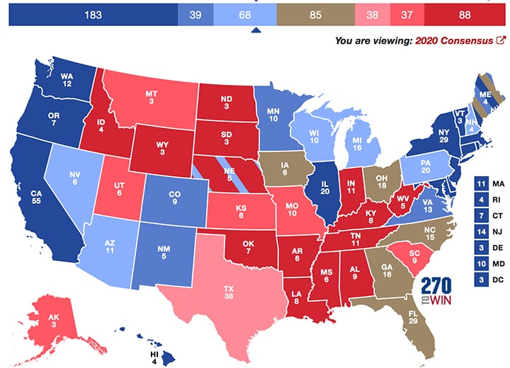
 This site is a safe space from politics because we all need a break from the madness. And madness is what it is. However, below is a fun, nonpartisan pastime, which I discovered after spending endless hours reading election news coverage. This nonpartisan 2020 Presidential Election Interactive Map allows users to pick which states they think will go Blue or Red, as well as teach people geography. It’s very interesting (and lots of fun) to play around with to see how you think this election will play out
It still amazes me how many people don’t know basic geography, including that of their own country, let alone the world. Hopefully, this will be a helpful. If you’re not familiar with the U.S. presidential election, the candidate’s goal (Joe Biden or Donald Trump) is to reach 270 (or more) electoral votes to win the election. That’s why this website’s URL is 270towin.com. FYI: The popular vote doesn’t matter as we saw in the 2016 and 2000 elections.


