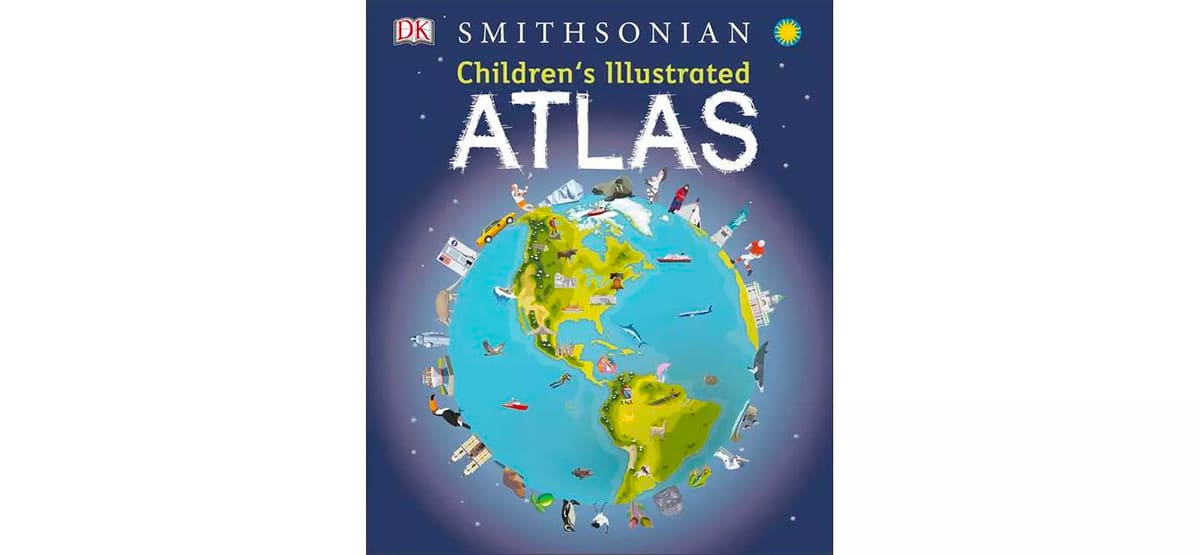
If you’re looking for a gift for any child on your shopping list, look no further than this incredible illustrated children’s atlas.
My mom bought this book for my son and I’m so excited for him to open it up on Christmas day. The Smithsonian Children’s Illustrated Atlas brings the world and all its countries and continents to life with vibrant and engaging pictures. I love that it’s jam-packed with easy to understand fast facts about the world around us.
Inside this book are more than 50 world maps that highlight important geographical features. Kids will learn how to read a map using a key and compass and learn about scale. While many of our children might not be globetrotting right now, this book will definitely whet their appetite for exploration and excite them about destinations around the globe.
From the publisher: This incredible and inspiring visual atlas takes you on a fact-filled, continent-by-continent tour of the world. Throughout the pages of this adventure book, you’ll discover more than 50 fascinating maps packed with fun facts and fresh images. Your child will learn all about the climate, populations, places, and industries of our world.
Picture stories complement the maps, from the giant Amazon River flowing through the rainforest to the frozen icebergs of the glacial Arctic. Discover the richness and diversity of human and animal life around the globe. Each map shows countries with their capitals, famous landmarks, longest rivers, and highest mountains.
This educational book is more than an atlas! It also shows young explorers how to read a map and use a key, compass, and scale. It’s the ideal resource for classroom use, home learning, and armchair exploration.
It’s an excellent reference book that will interest your child for years and years. Buy The Smithsonian Children’s Illustrated Atlas here on Amazon.